
SURVEY & MAPPING DRONE SOLUTIONS

SURVEY & MAPPING DRONE SOLUTIONS

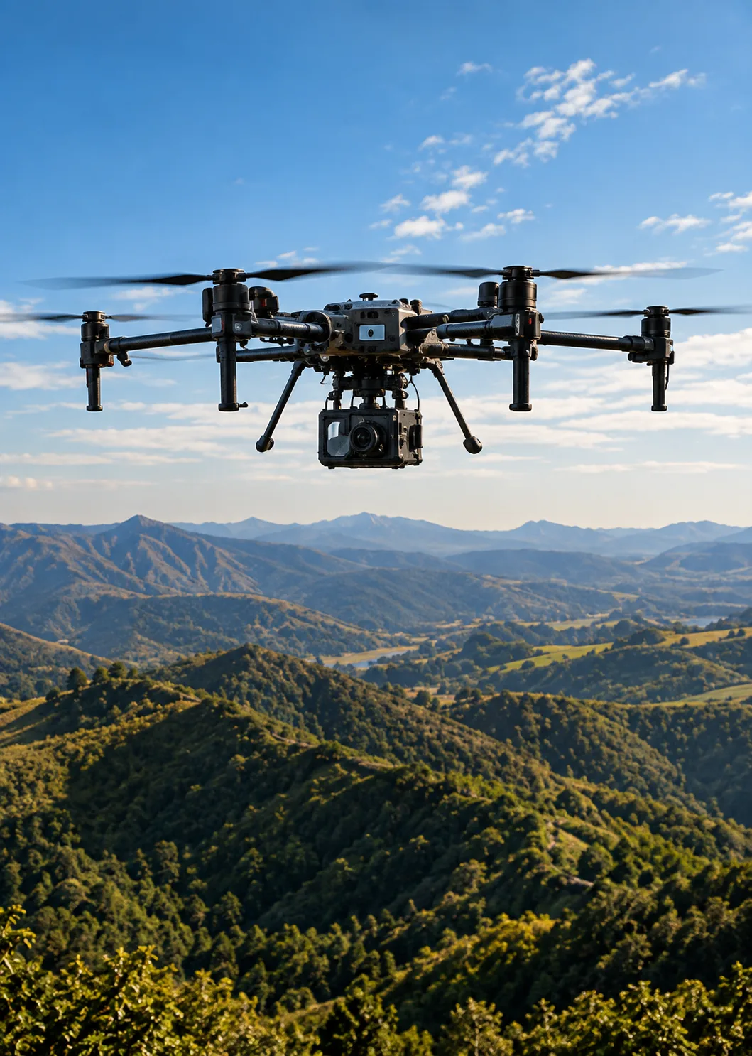
Accurate aerial solutions for land surveying, 3D mapping, terrain analysis, and high-resolution geospatial data collection.

  • PRECISION SURVEY

    PRECISION SURVEY

  • 3D MAPPING

    3D MAPPING

  • ACCURATE DATA

    ACCURATE DATA

Explore UAVs

CHALLENGES WE HELP YOU OVERCOME

LARGE AREA COVERAGE

Capture detailed aerial data across extensive areas with efficient flight operations.

DIFFICULT TERRAIN

Survey remote, uneven, and inaccessible environments without relying on ground teams.

TIME-CONSUMING SURVEYS

Reduce manual fieldwork with repeatable aerial data collection and automated missions.

DATA ACCURACY

Capture precise imagery and positioning data for reliable mapping and analysis.

A SMARTER WAY TO SURVEY & MAP

Combine capable UAV platforms with high-resolution imaging, precision positioning, and intelligent flight planning to create a smarter geospatial workflow.

EXPLORE OUR UAVs
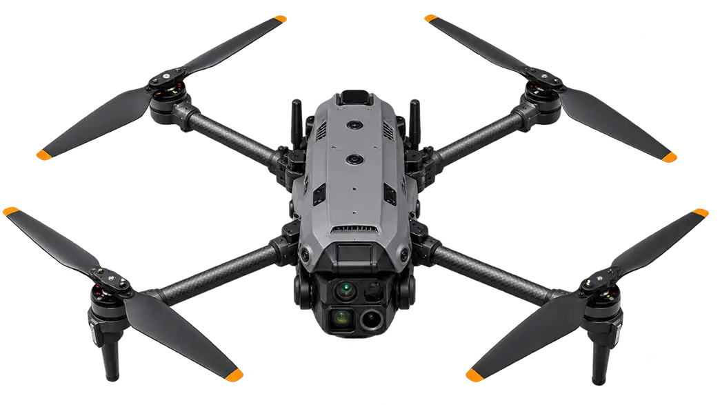
UAV PLATFORM
AERIAL MAPPING
PRECISION IMAGING
GROUND CONTROL

UAVs BUILT FOR SURVEY & MAPPING

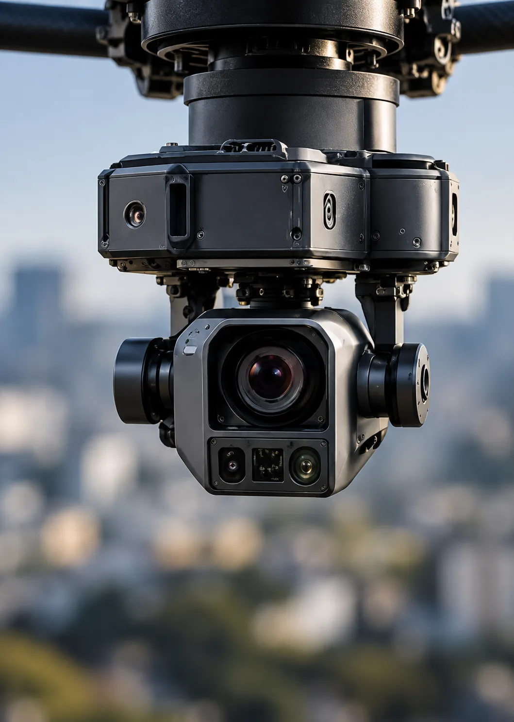
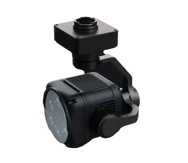
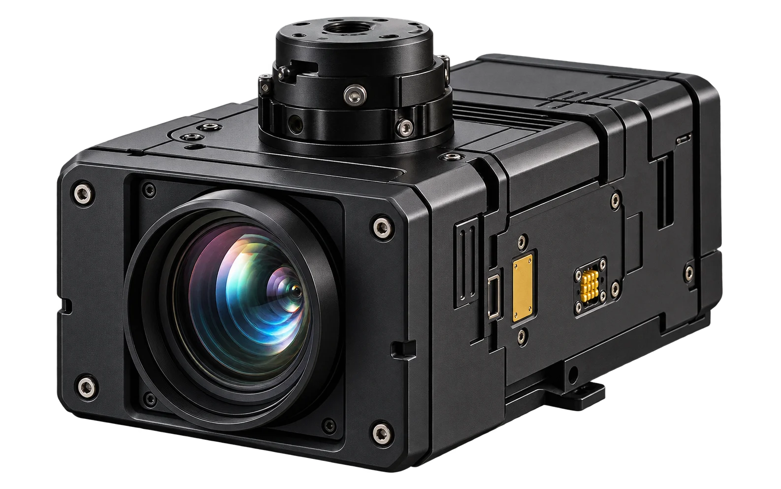
Triaxial Probe – Precision Measurement Sensor

Triaxial Probe – Precision Measurement Sensor

The Triaxial Probe is a professional sensing device designed for simultaneous measurement across three perpendicular axes. It supports accurate monitoring and analysis in industrial, electronic,...

  • Housing
    Compact Rugged Housing
  • Mounting Type
    UAV Mounted
  • Camera Configuration
    Integrated Camera Module
  • Stabilization
    3 Axis Stabilization
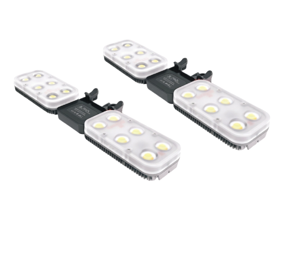
ML200 ML350 – High Output Matrix Light

ML200 ML350 – High Output Matrix Light

The ML200 ML350 Matrix Light is a high output UAV lighting system designed for wide area illumination during nighttime and low visibility operations. Its matrix...

  • Design
    Compact Lightweight
  • Beam Type
    Wide Area Illumination
  • Model
    ML200, ML350
  • Light Configuration
    Dual Matrix Light Units
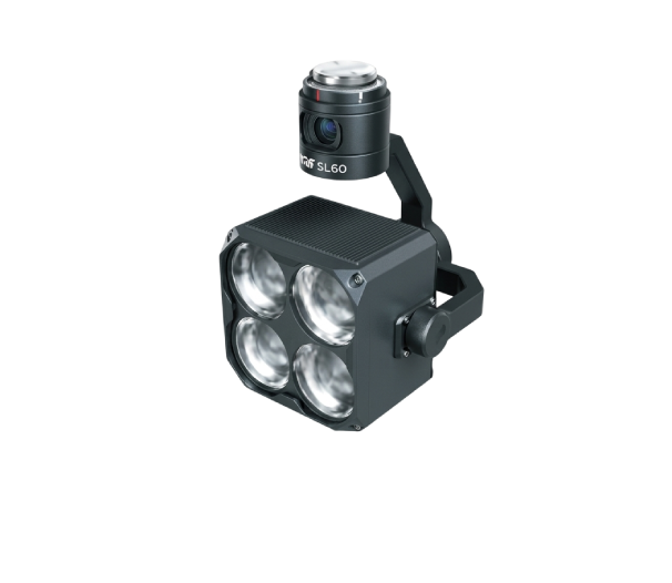
SL60 SL60Plus – Multi Color UAV Strobe Light

SL60 SL60Plus – Multi Color UAV Strobe Light

The SL60 SL60Plus is a professional multi color strobe light designed for UAV operations requiring high visibility, aircraft identification, and visual warning indication. Its bright...

  • Mounting Type
    UAV / Drone Mounted
  • Color Output
    Multi Color
  • Light Source
    High Intensity LED
  • Light Configuration
    Multi LED Array

COMPATIBLE PAYLOADS

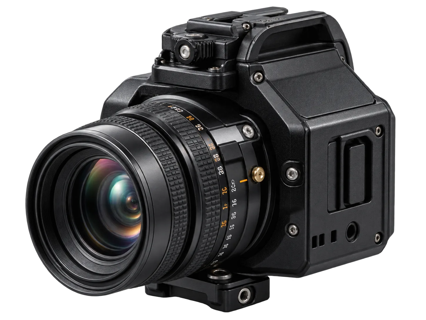
MAPPING CAMERA
MULTISPECTRAL CAMERA
LIDAR
HIGH-RESOLUTION CAMERA
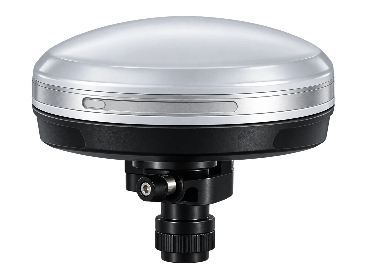
GNSS / RTK

SURVEY & MAPPING APPLICATIONS

Mission-ready UAV solutions designed to support land surveying, topographic mapping, 3D modelling, construction monitoring, and terrain analysis.

LAND SURVEYING
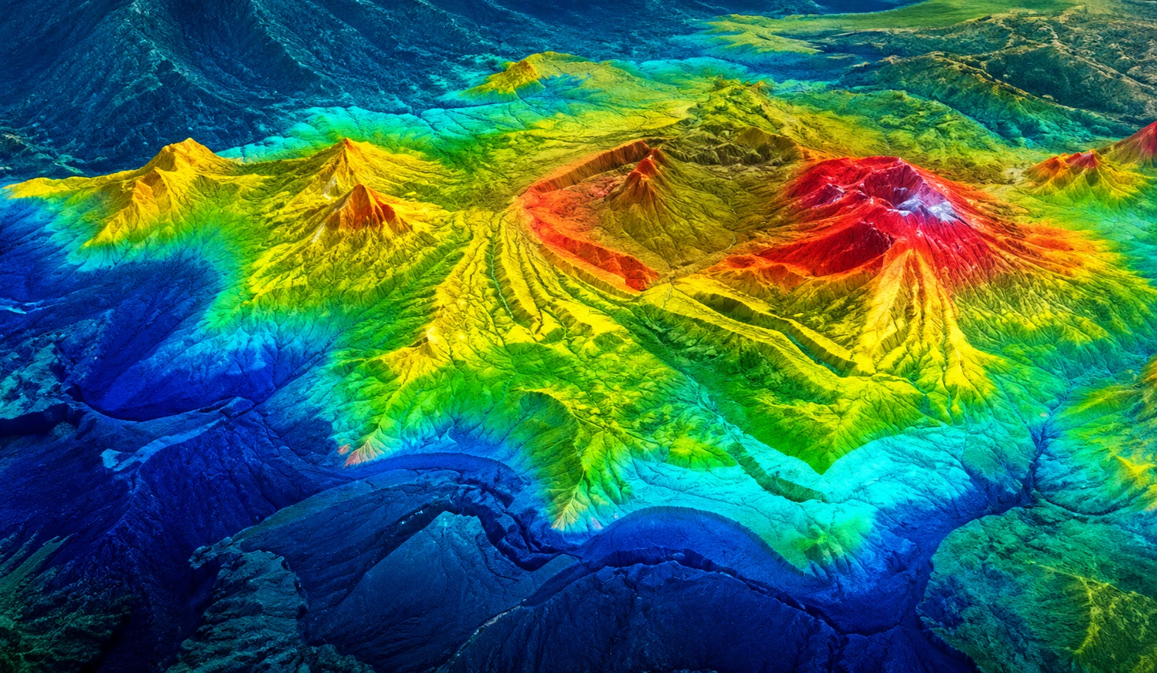
TOPOGRAPHIC MAPPING
3D TERRAIN MODELLING
CONSTRUCTION MAPPING
QUARRY & MINING SURVEY